Our data has been used very successfully for several years in the virtualcityMAP system solution from virtualcitySYSTEMS. virtualcityMAP is a technology that combines existing 2D web mapping applications, web services and panorama services with 3D web mapping applications to form innovative geoportal solutions.
The exact data from 3D Mapping Solutions allow virtualcitySYSTEMS to integrate the road corridor into their 3D city model platforms in a highly accurate, object-oriented and three-dimensional way.
Integration of our high-precision reference map including the complete traffic logic in the
3D environment model of the web-based virtualcityMAP
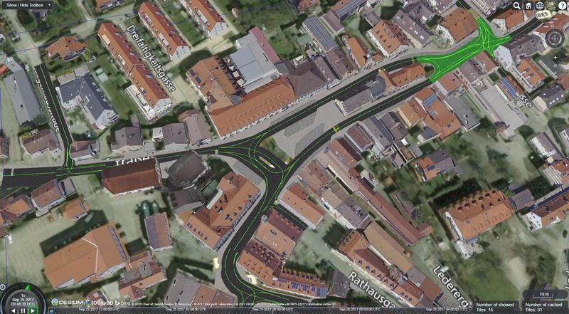
Abb.: Marktplatz, Grafing near Munich
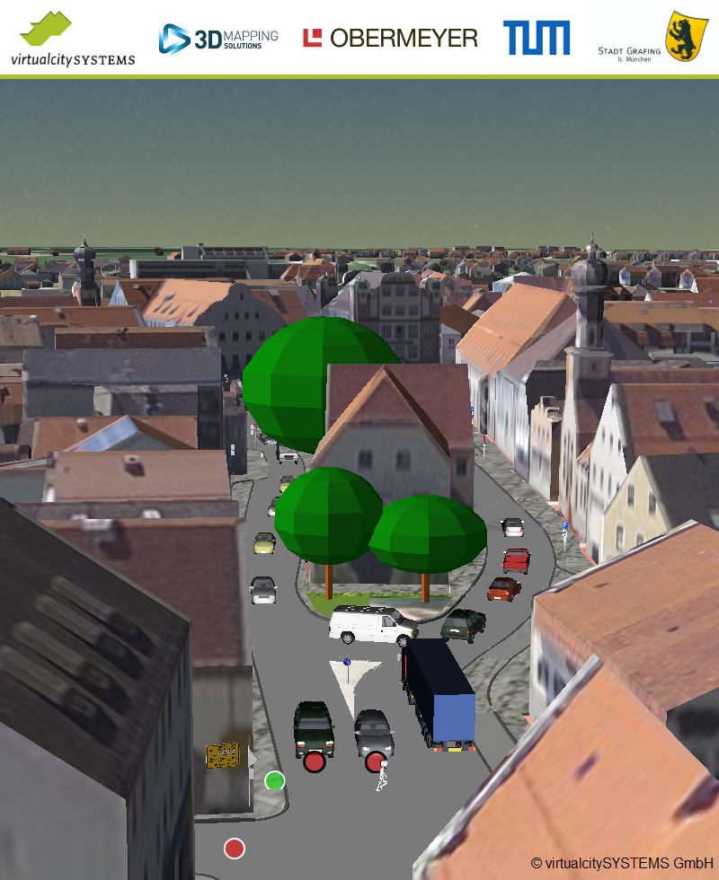
By courtesy of