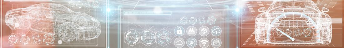
3D Mapping Solutions has been and continues to be part of a wide variety of publicly funded research projects, helping to shape the mobility of tomorrow. Below you will find examples of our exciting research work.
The aim of the AHEAD project is to develop vehicle front lighting that optimally supports the camera sensor technology for environment perception for automated driving.
The SAVeNoW project explores the development and commissioning of a digital twin using the example of Ingolstadt and the surrounding area.
The goal of the two-year PLIMOS project is to develop a technical service with which municipalities can plan, simulate, and optimize the use of autonomously driving electric shuttles in intermodal public transport on the basis of their 3D city model.
The goal of TEMPUS is the realistic testing of automated and networked vehicles (AVF) for individual transport (IV) and local public transport (ÖPNV) in real traffic situations. For this purpose, a cross-regional test field for automated and networked driving in the north of Munich is being defined, set up, and transferred to a cross-building authority reference architecture.
The aim of the AORTA research project is to make a contribution to automated driving and close technical networking through the automated formation of emergency lanes, to prevent traffic accidents with serious injuries or even fatalities, to enable emergency vehicles to reach their destination more quickly and safely, and thus to save lives every day!

The goal of the UPSIM project is to take Digital Twins to the next level by increasing their credibility. The project aims to enable companies to collaborate safely with simulations - in a repeatable, reliable and robust way.
In the Providentia++ project, the interaction of information flows in highly automated vehicles with the infrastructure is being researched and tested, as is the creation of precise real-time twins of traffic and the associated added value for society.
The aim of the RADSPOT research project is to develop a cloud-based traffic service for health monitoring for traffic routes and highly automated road-friendly driving. For this purpose, 3D Mapping Solutions captures the selected test routes to provide the reference data for road condition analysis.

For the project SAVe, 3D Mapping Solutions surveys test areas in the inner city area of Ingolstadt. After evaluating and modeling the data, we provide a high-resolution, high-accuracy reference map as an as-built map of the surrounding area with all logical links.
The research project @City has set itself the goal of making automated driving possible, even within the city, with high information density and at the same time short reaction times. 3D Mapping Solutions is creating the base map for this.
3D Mapping Solutions will develop a scanning method for the Robot 4.0 project to determine the target and actual values of the geometric pavement parameters. This is intended to create the basis for the development of autonomously operating, mobile working machines.
The basic idea of the project is to provide the driver, and in the case of highly automated vehicles the vehicle itself, with a comprehensive view of the route ahead.

The aim of the StreetProbe funding project is to provide a cost-effective and efficient system for the early detection and recording of road damage and its development over time throughout the German road network. To this end, 3D Mapping Solutions will provide, among other things, the reference data of the trial and test routes for the project.
The aim of the PEGASUS research initiative was to develop a generally accepted procedure and corresponding tools for testing highly automated vehicle functions using the example of the highway chauffeur. In particular, this was intended to prepare the release of highly automated vehicles for the market.

For the Ko-HAF project, 3D Mapping Solutions surveyed and provided highly accurate baseline data of the test track. In addition, a procedure for updating the map and for quality determination was developed.