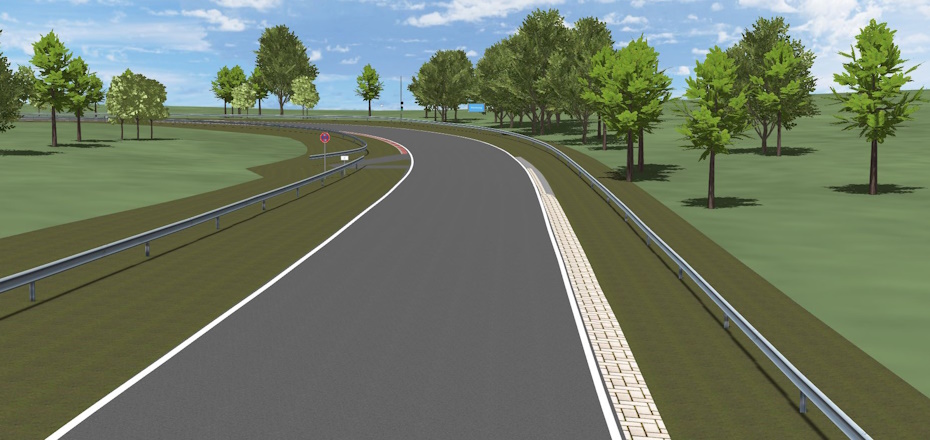
Race-tracks
Thanks to our partnerships with racetracks, we provide detailed and up-to-date models for vehicle development, motorsports and gaming.
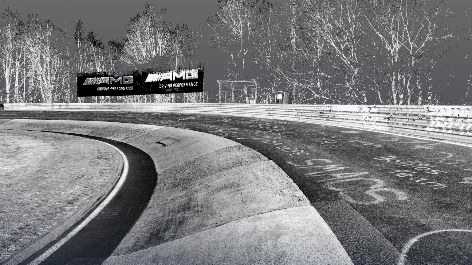
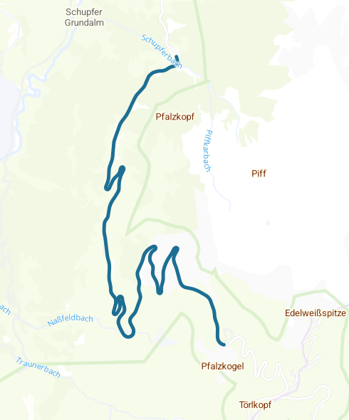
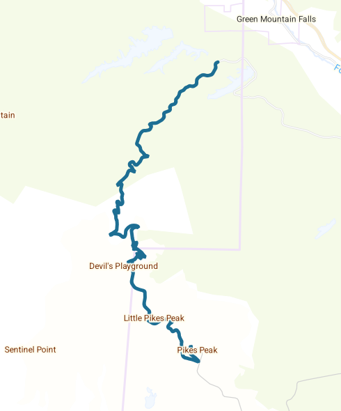
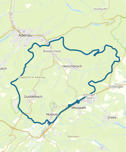
Nürburgring
Nordschleife
Facts & Figures:
- Germany
- 20.8 km
Nürburgring
Grand-Prix
Facts & Figures:
- Germany
- 5 km
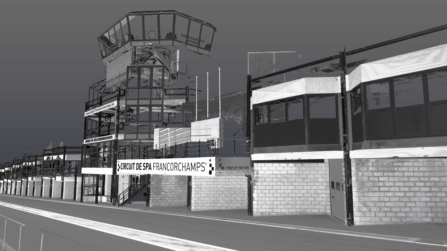
Circuit de Spa Francorchamps
Facts & Figures:
- Belgium
- 7 km
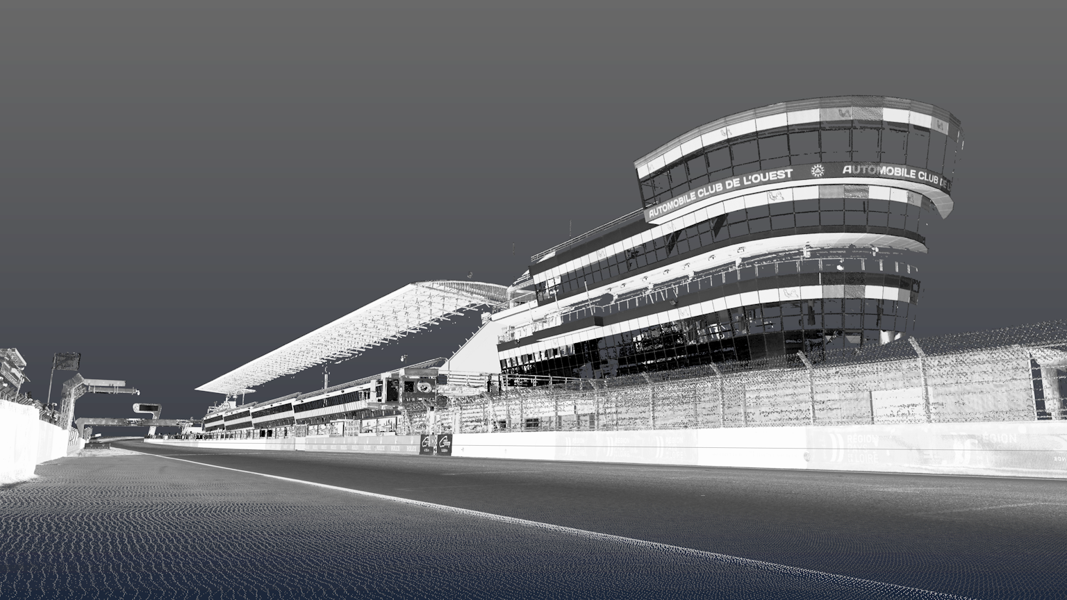
Le Mans
Circuit de la Sarthe
Facts & Figures:
- France
- 13.6 km
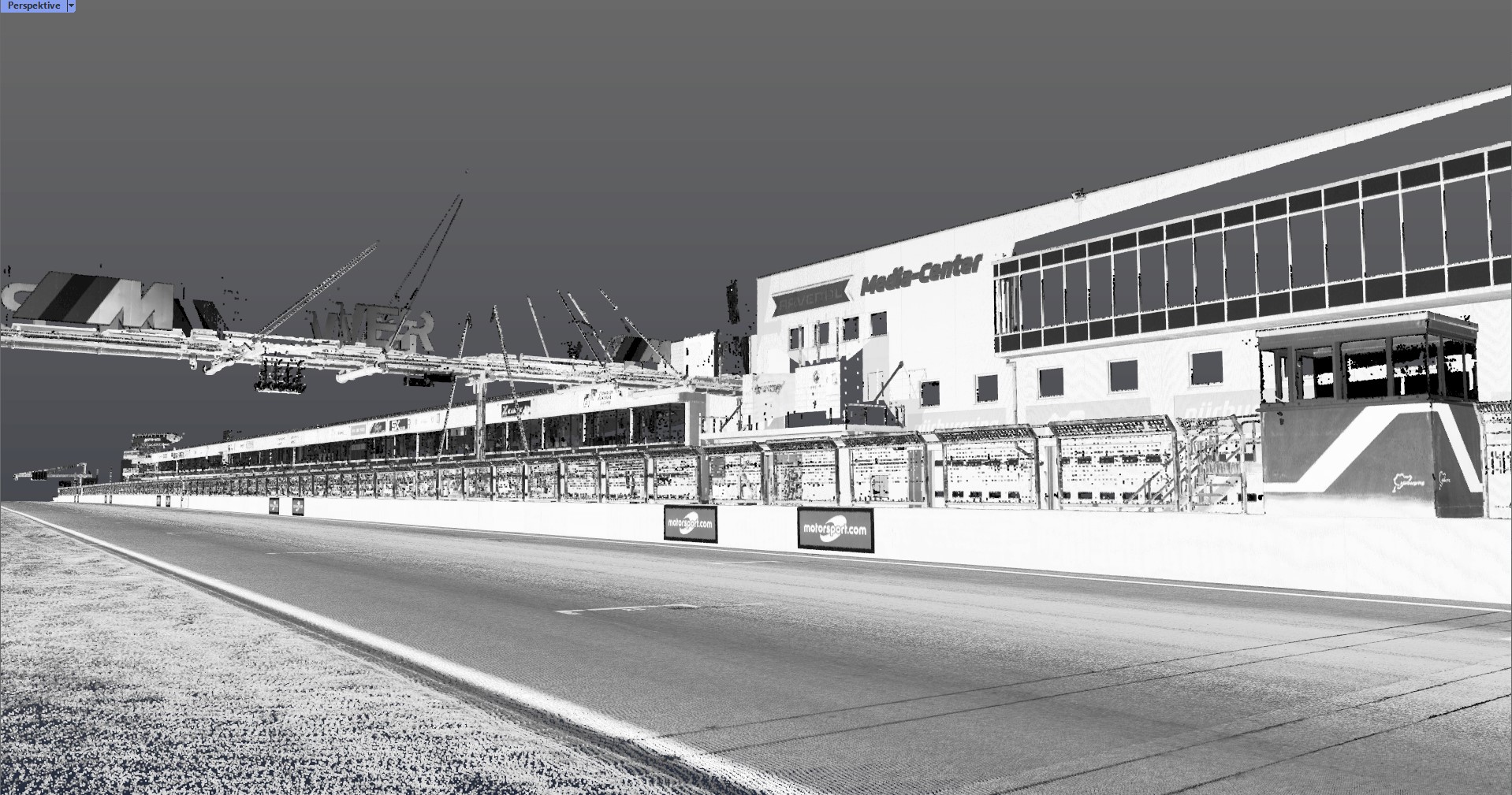
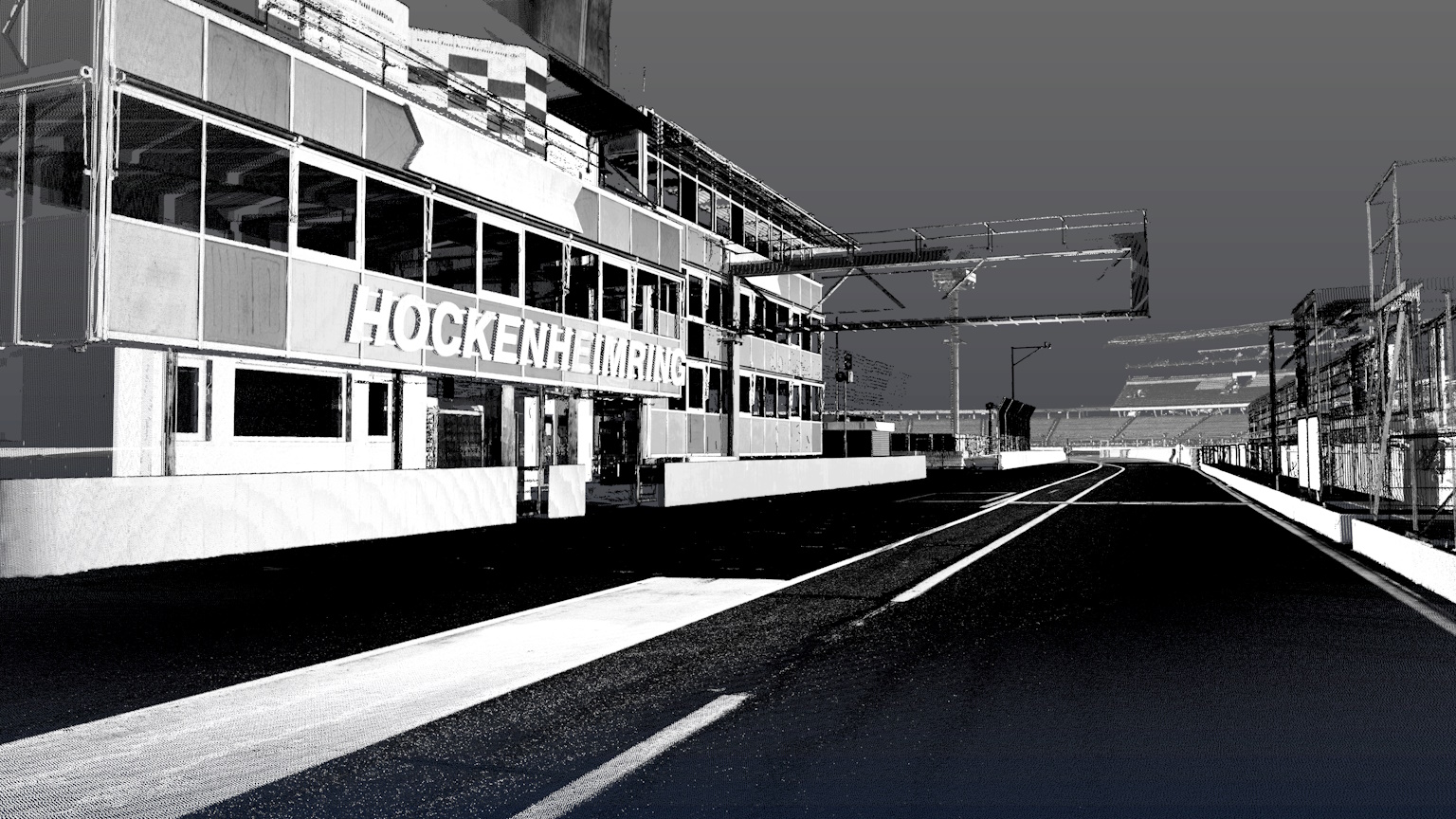
Hockenheimring
Facts & Figures:
- Germany
- 4.6 km
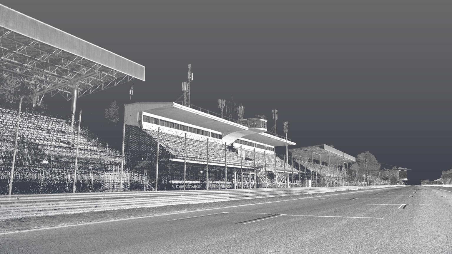
Autodromo Nazionale Monza
Facts & Figures:
- Italy
- 5.8 km
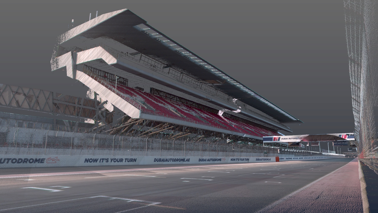
Dubai Autodrome
Facts & Figures:
- United Arab Emirates
- 5.4 km
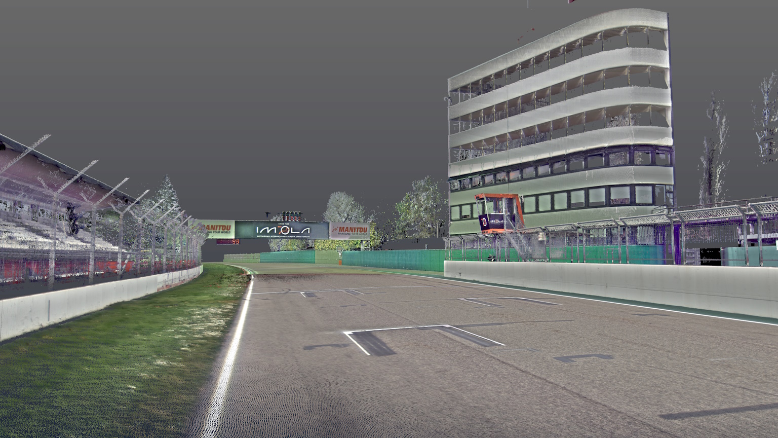
Autodromo Imola
Facts & Figures:
- Italy
- 4.9 km

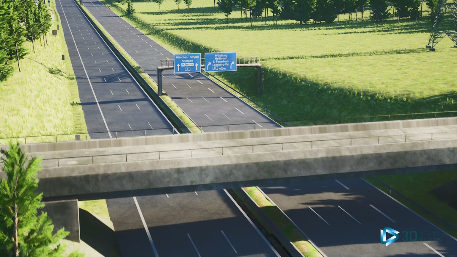
Ready-to-use-tracks
Our Ready-To-Use-Tracks are pre-configured and meet our high-quality standards. They can be ordered directly and used immediately in simulations without additional adjustments.
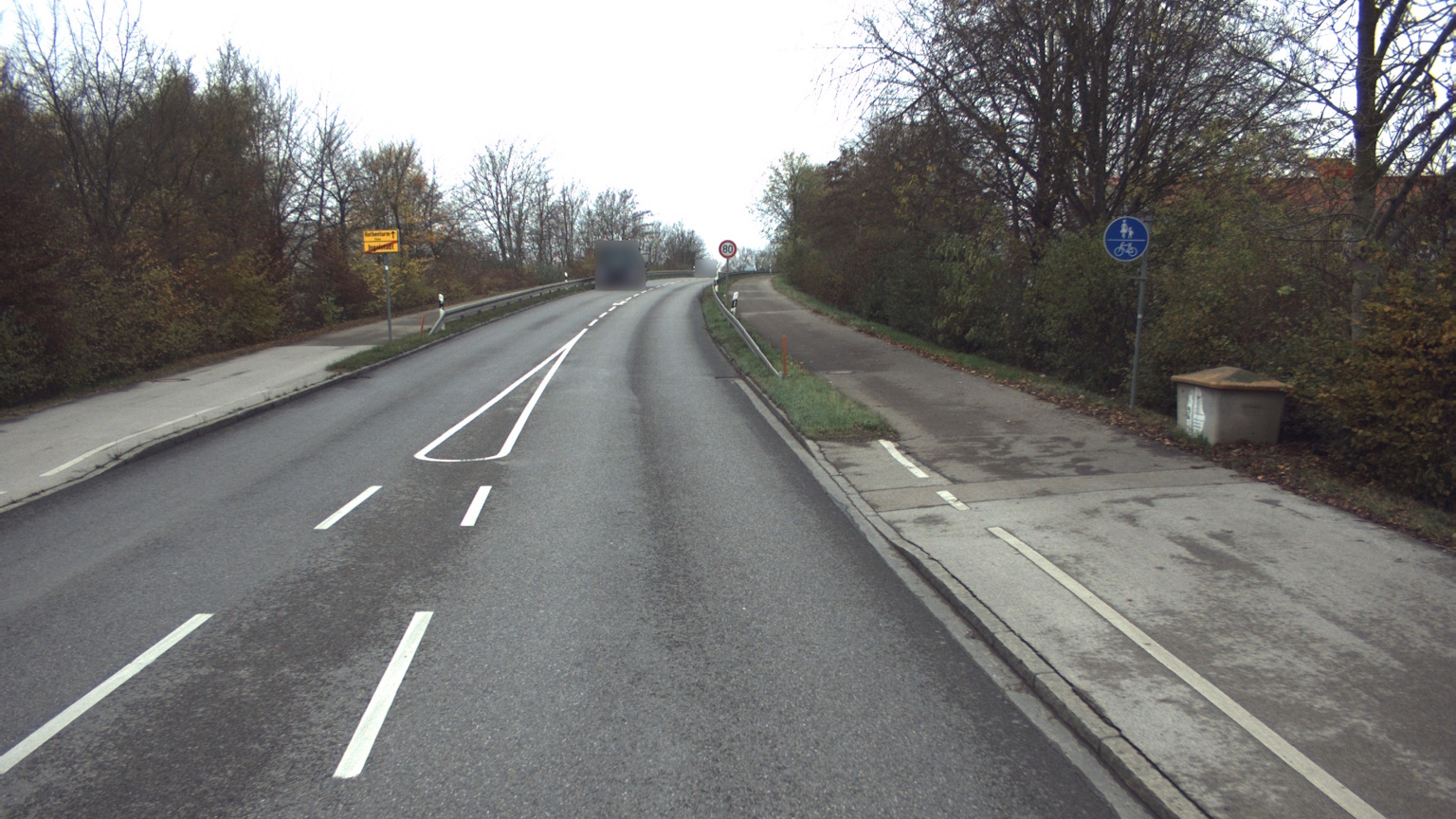
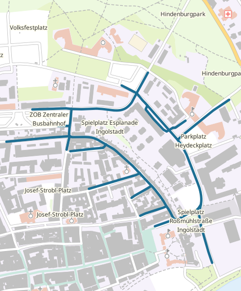
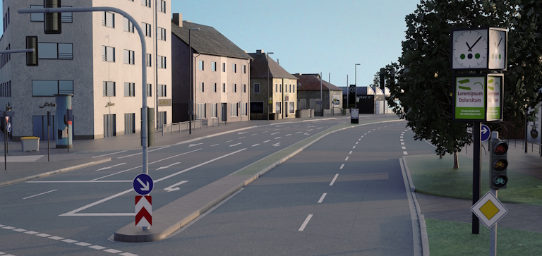
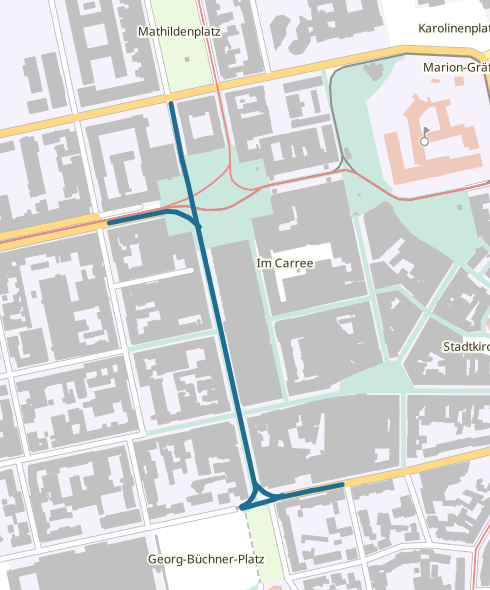
Ingolstadt Inner City Loop (DE)
Facts & Figures:
- 5 km inner city roads
- 14 intersections
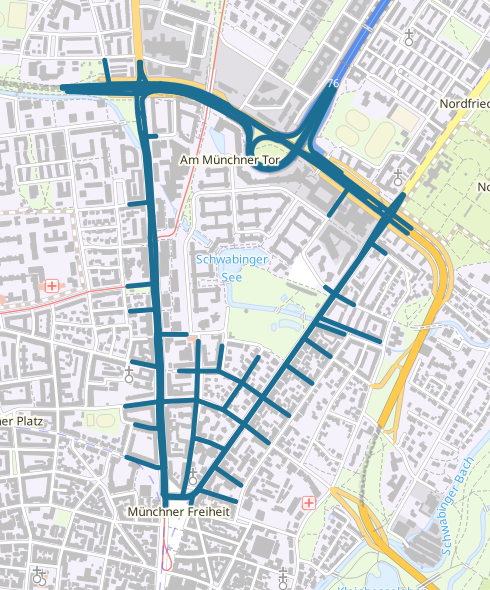
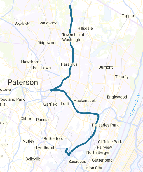
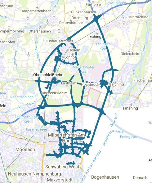
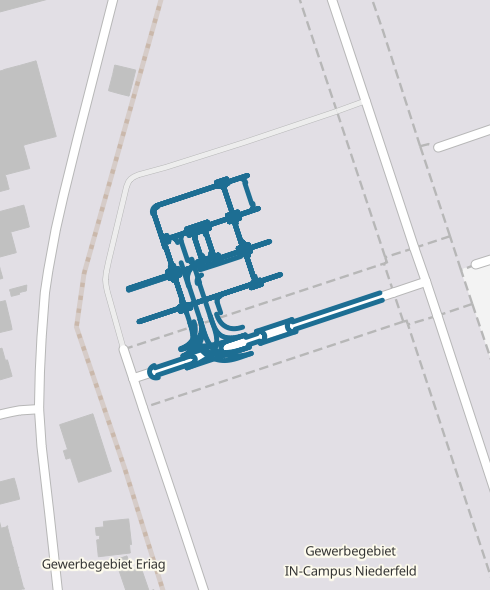
Triangle Schwabing, Munich (DE)
Facts & Figures:
- 18 km inner city roads
- 52 intersections

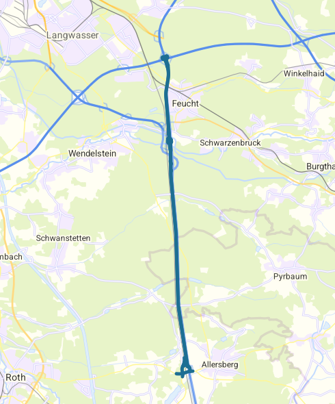
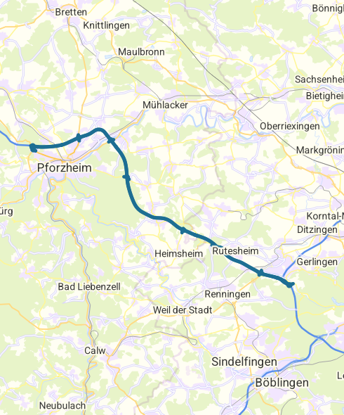


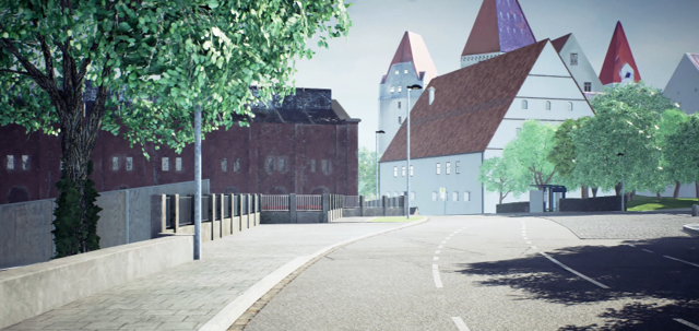
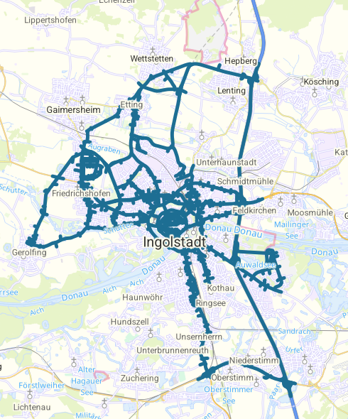
Ingolstadt
(DE)
Facts & Figures:
- 19 km highway
- 51 km rural roads
- 127 km inner city roads
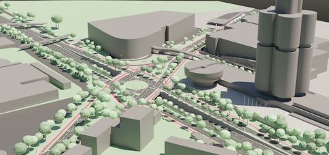
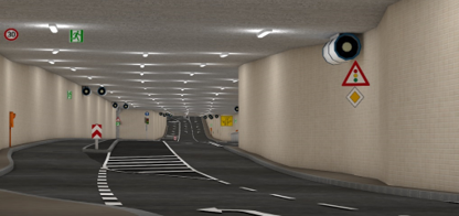
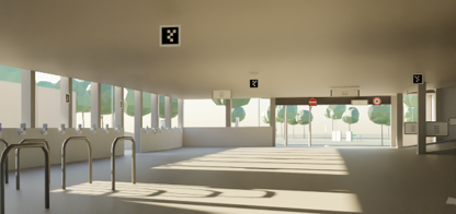
Parking Garage incampus Ingolstadt (DE)
Facts & Figures:
- 7 story parking garage
- 5 km and 84 junctions

Map Sources
- © basemap.de / BKG (2025) CC BY 4.0
- © Open Street Map Mitwirkende ODbL v. 1.0 ; © OpenMapTiles
Demo Data
Our demo data provides insight into our high data quality, allowing you to evaluate accuracy and detail. Use it to verify that our data meets your requirements before making a commitment.
If you are interested in the our demo data please fill out our contact form.
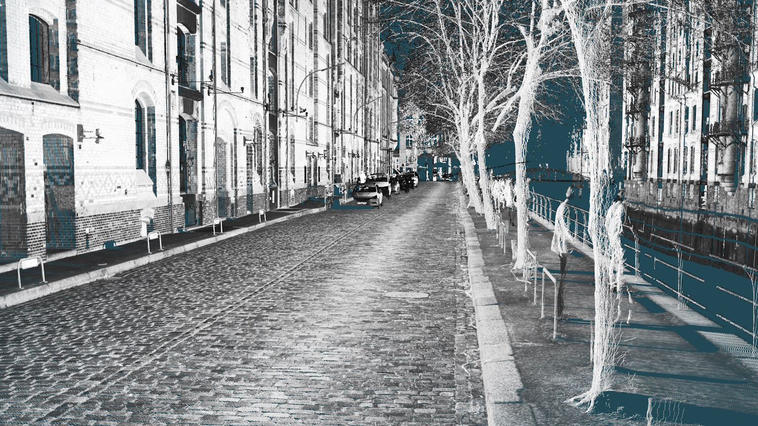
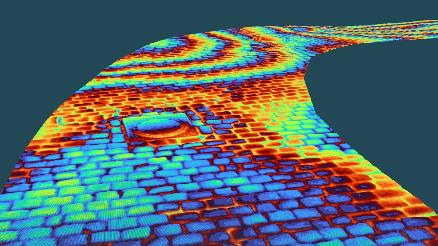
Point Cloud
Facts & Figures:
- Nuerburgring Nordschleife and paved road at Hamburg, Germany
- LAS (Intensity and RGB)
- 6.24 GB Zip-File
Surface Models
Facts & Figures:
- Nuerburgring Nordschleife and paved road at Hamburg, Germany
- LAS, OpenCRG, RGR, Frequency Analysis
- 2.98 GB Zip-File
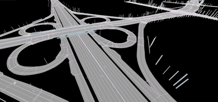
HD Maps
Facts & Figures:
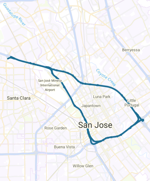
- Highway No 1, CA, USA and city intersection at Santa Clara, CA, USA
- OpenDrive and Road5
- 2.58 MB Zip-File
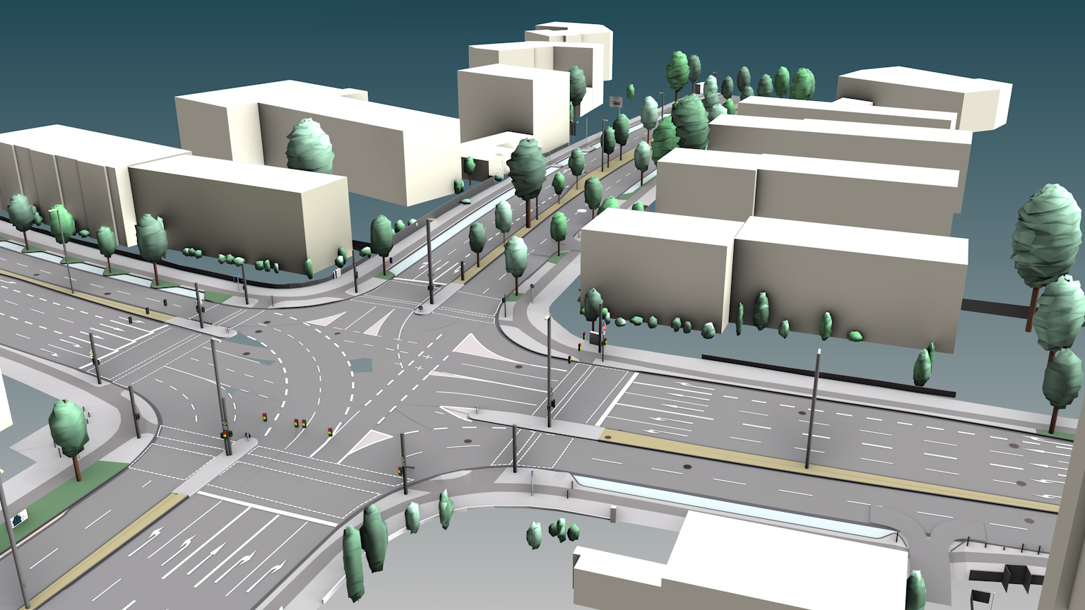
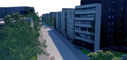
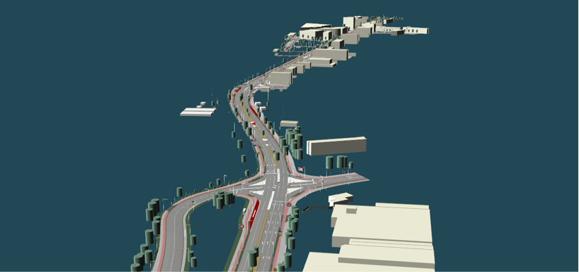
3D Environment Models
Facts & Figures:
- City scene at Ingolstadt
- FBX and corresponding OpenDrive
- 849 MB Zip-File
Camera Data
Facts & Figures:
- Nuerburgring Nordschleife and innercity at Ingolstadt, Germany
- jpg
- 1.74 GB Zip-File